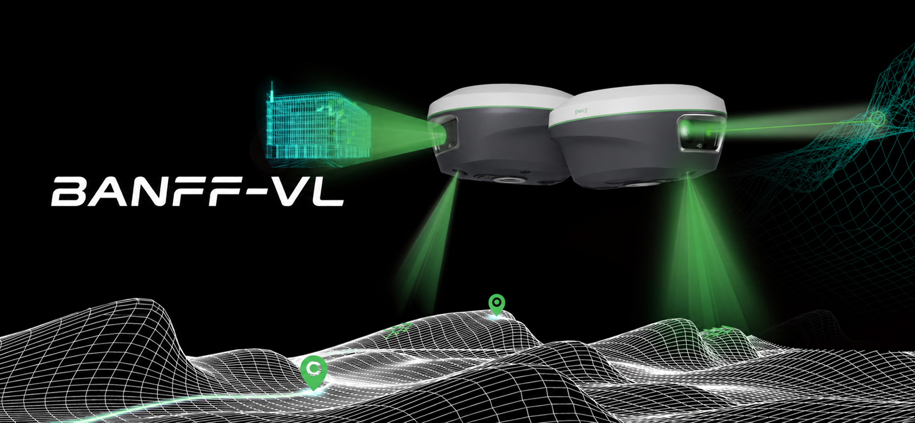
Visual Surveying
Powered by an HD starlight camera and advanced visual algorithms, enables visual surveying through capture. Users can obtain centimeter-level photogrammetry results without complex host processing.
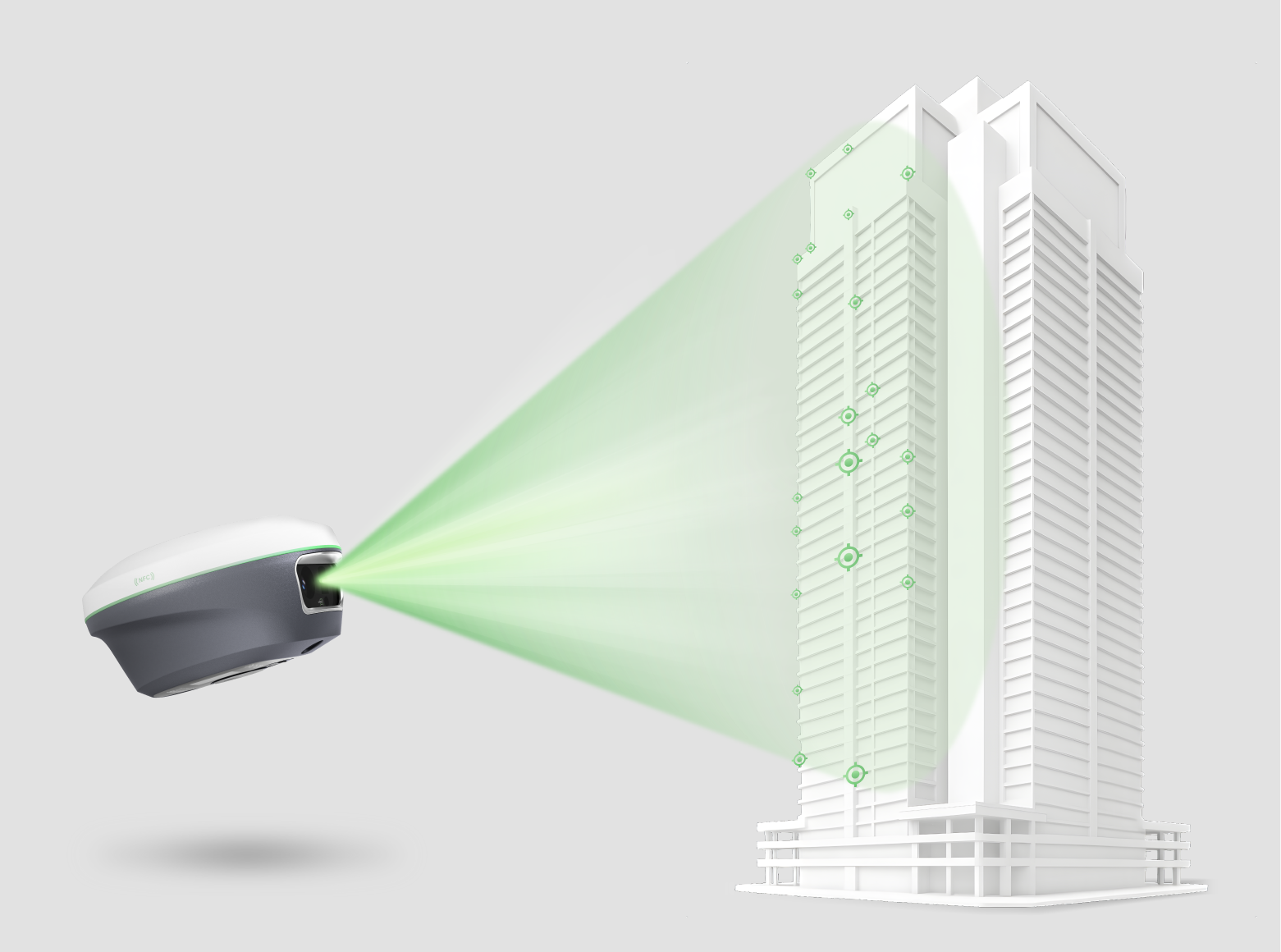
Camera Assisted Laser Surveying
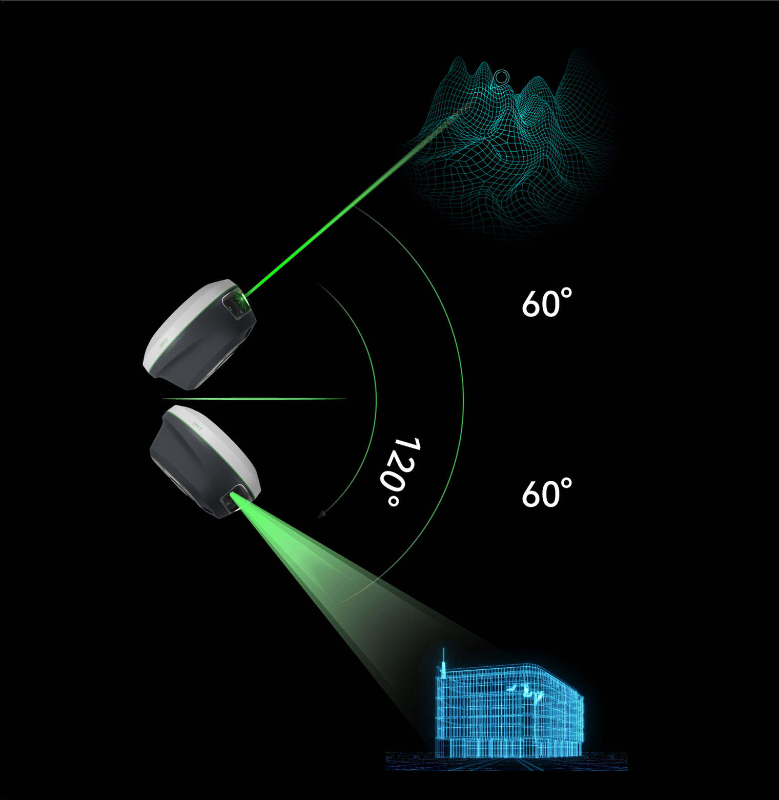
Laser surveying with back camera provides clear visual assistance for clear and precise aiming of non-contact laser surveying, extending the surveying range up to 120 m range.
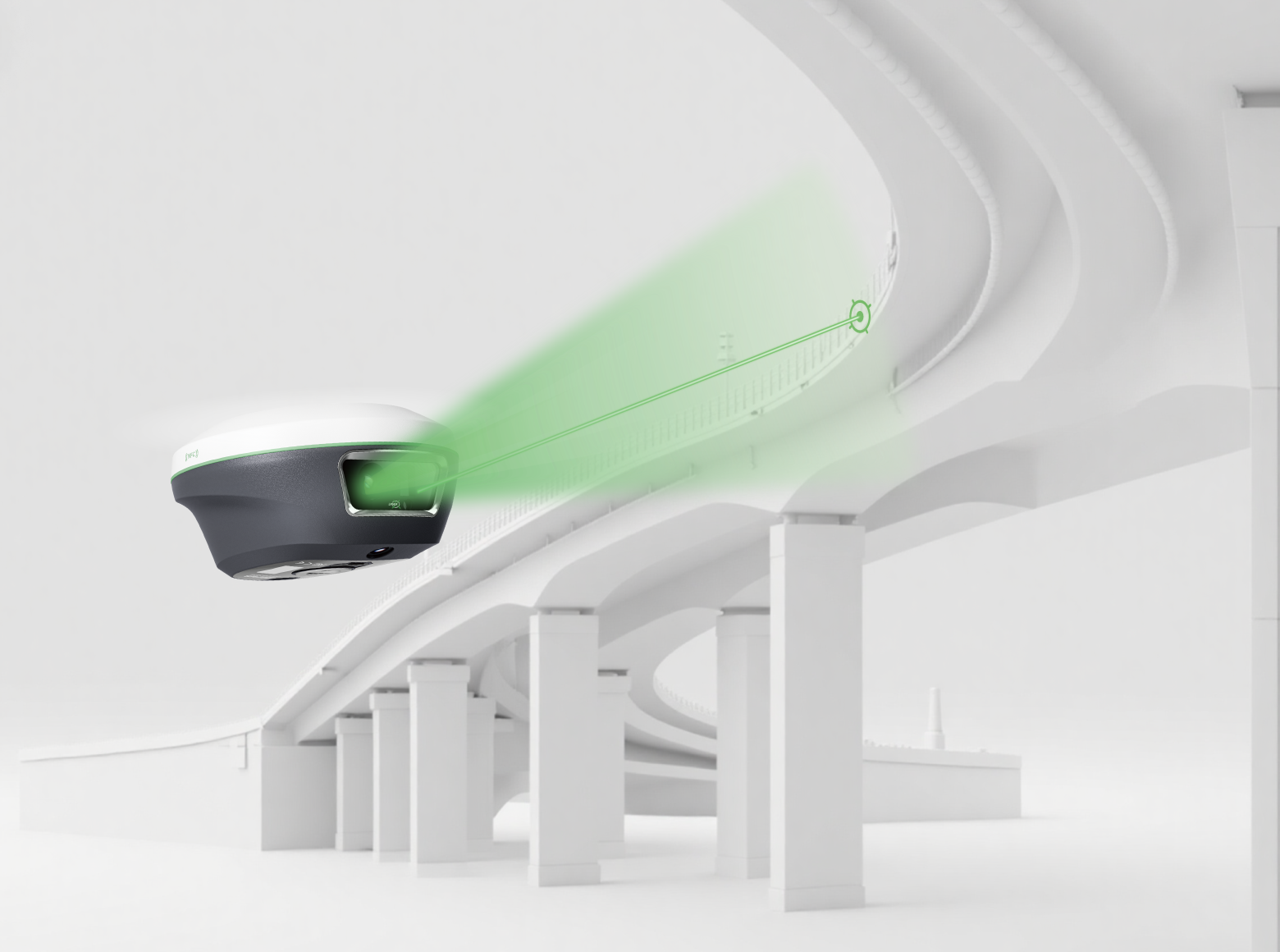
Dual Camera AR Stake Out
With dual camera integration, AR stake out becomes enhanced through auto distance-based switching: the back camera for long-range points and the bottom camera for close-range guidance.
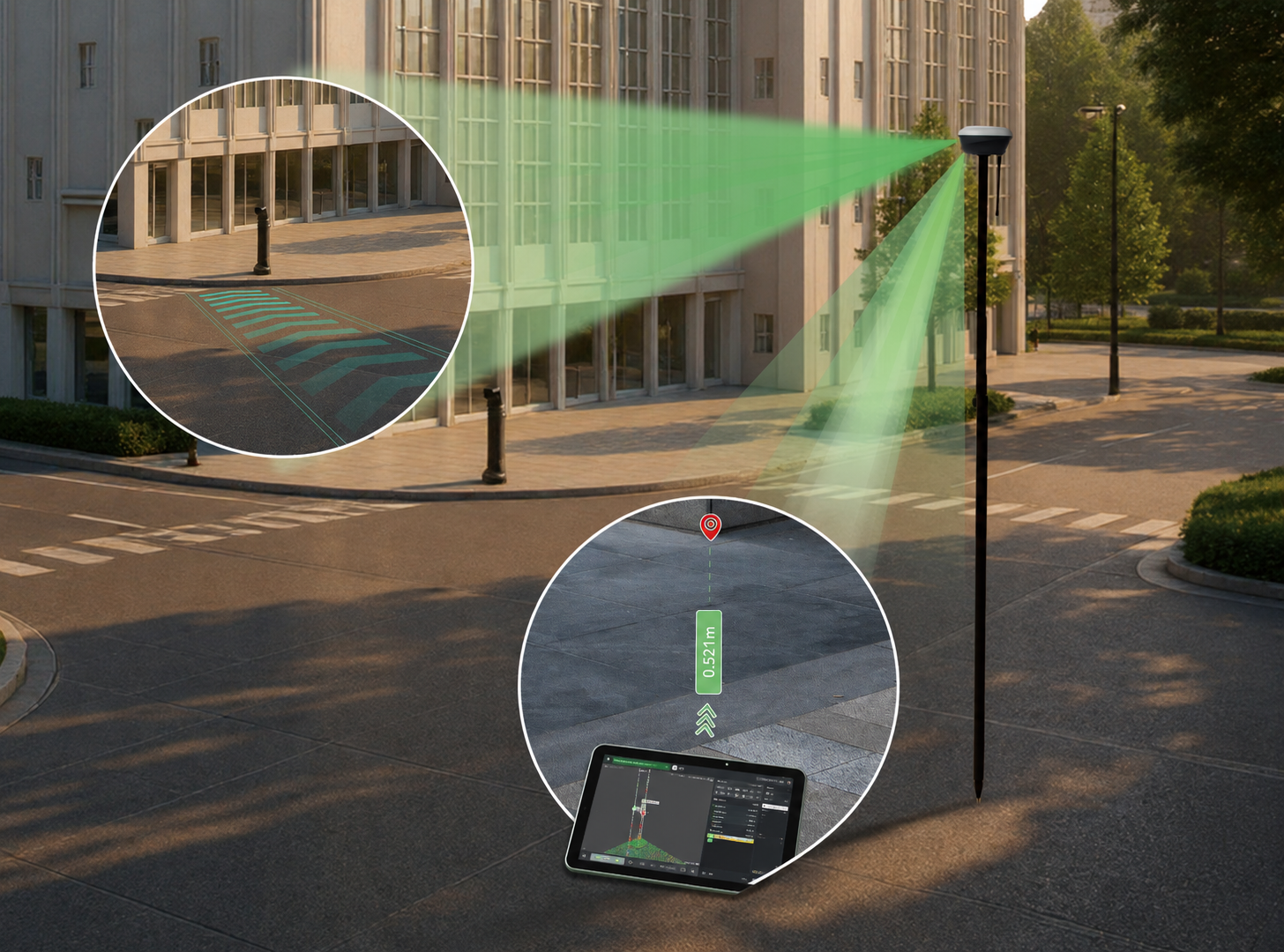
60° Tilt IMU
High performance IMU, supporting up to 60 degree tilt range for both pole surveying and laser surveying.
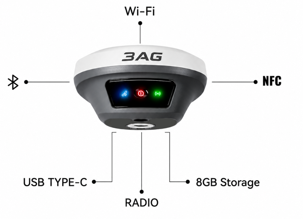
Transmition
Integrated NFC, Bluetooth, WiFi, USB Type-C and 8 GB storage.
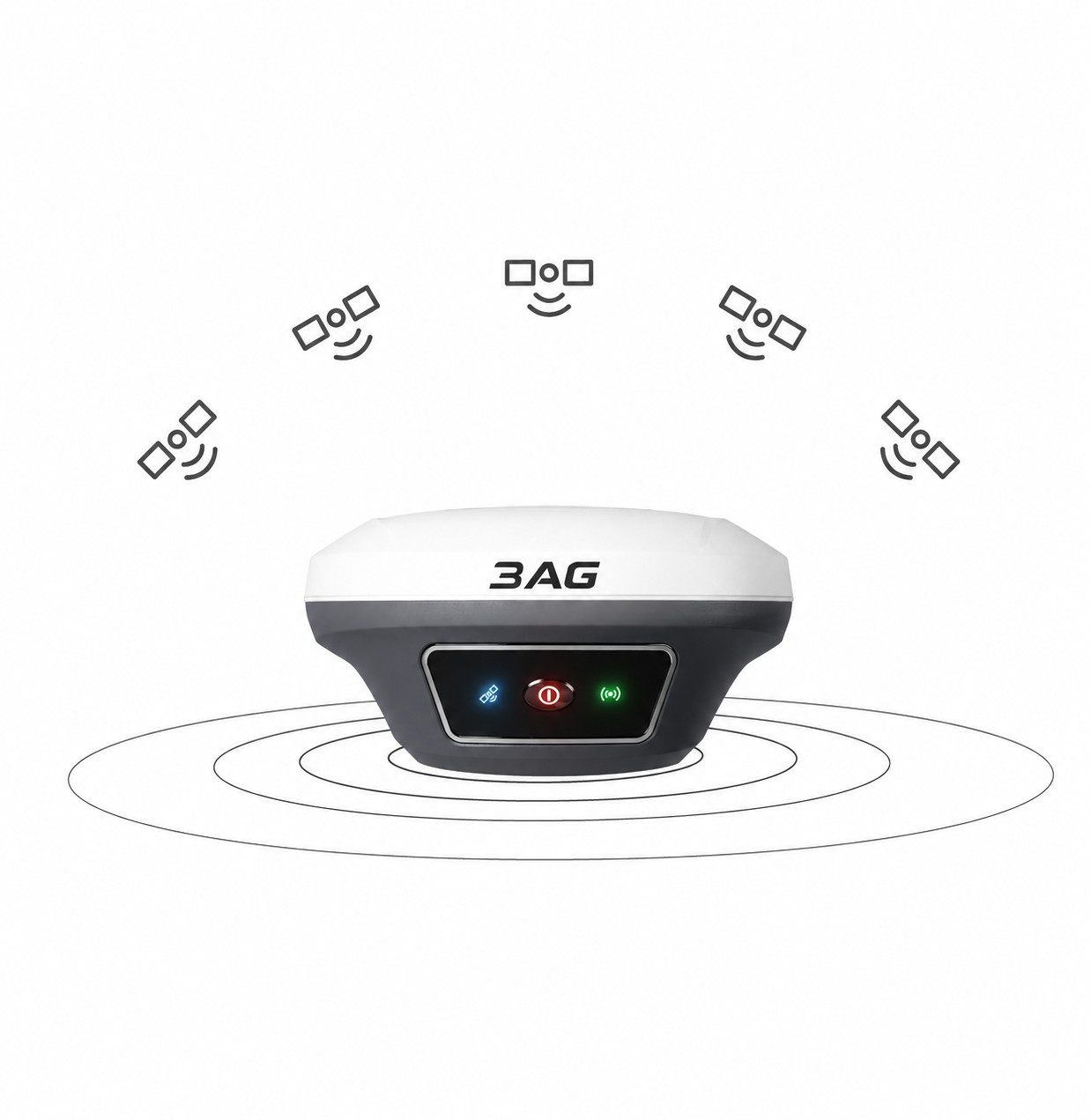
Constellation
Supporting full constellation GPS, GLONASS, Galileo, BeiDou, IRNSS (NavIC), QZSS.
Technical detail.
- Channels
- 1408
- BDS
- B1I, B2I, B3I, B1C, B2a, B2b
- GPS
- L1C/A, L1C, L2C, L2P(Y), L5
- GLONASS
- G1, G2, G3
- Galileo
- E1, E5a, E5b, E6
- QZSS
- L1C/A, L1C, L2C, L5
- IRNSS (NavIC)
- L5
- SBAS
- WAAS, EGNOS, MSAS, GAGAN, SDCM
Experience the Technology Firsthand
Arrange a private demonstration of Banff-VL with the 3AG team.